Flying the Jordan Cove LNG Pipeline Route
A few weeks ago, I got to join an aerial tour by EcoFlight of the proposed Pacific Connector Gas pipeline crossing of the Pacific Crest Trail and the Rogue River near Shady Cove. If built, the Pacific Connector Gas pipeline would transport fracked gas from Malin, Oregon to the Jordan Cove Liquefied Natural Gas (LNG) export terminal at Coos Bay. The fracked gas pipeline would cut through more than 485 rivers and streams, including the Klamath, Umpqua, Coos, and Coquille Rivers.
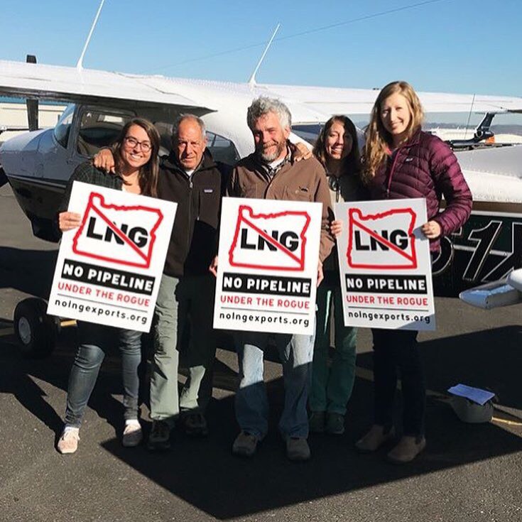
I joined a community organizer from Rogue Climate based here in southern Oregon and an activist from Colorado fighting fracking in his community, a documentary filmmaker, and the founder of EcoFlight on a tour of the proposed Pacific Connector Pipeline crossing of the Rogue and the Pacific Crest Trail.
Five of us packed into the tiny plane with our pilot Bruce Gordon, the founder and Executive Director of EcoFlight. This organization flies conservation groups, policy makers, concerned citizens, and media representatives over impacted landscapes to, quite literally, get a new perspective.
Our flight was one small section of a series of flights along the pipeline route in Oregon and in Colorado, where communities could see a dramatic increase in fracking if the pipeline and export terminal are built. Although the threats to impacted communities in Colorado and Oregon look different, this harmful project ultimately puts corporations before people. In both Oregon and Colorado, our communities, clean water, fish, wildlife, and forests will shoulder the harm to benefit a multi-national corporation using a fracked gas pipeline and terminal for export overseas.
Flying over the pipeline route, I could see the sharp contrast between private lands and public lands as we flew towards the Rogue River-Siskiyou National Forest.

A clear view of the boundary between the Rogue River-Siskiyou National Forest to the left and private lands to the right.
Slightly north from where the pipeline would cross Dead Indian Memorial Road, we flew over the proposed crossing of the Pacific Crest Trail southwest of Brown Mountain.

The view from above the Rogue River-Siskiyou National Forest near where the Pacific Connector Pipeline would cross the Pacific Crest Trail The proposed fracked gas pipeline would clear-cut a 95-foot buffer along the entire pipeline route.
We then flew south of Robinson Butte along the pipeline route and over the crossing of North Fork Little Butte Creek with view of Mt. McLoughlin to the east.
Below us, the pipeline would also cross below the Medford Aqueduct that provides drinking water to the City of Medford. As we continued northwest, we flew over the crossing of Butte Falls Highway and past Lost Creek Lake to the east.
As we started to bank southwest, we headed towards the proposed crossing of the Rogue upstream from Shady Cove near Trail. Jordan Cove proposes to use horizontal directional drill to cross under the Rogue. This type of drilling has the potential to fracture bedrock and release drilling chemicals into rivers, called a “frac-out.” Even according to Jordan Cove’s own analysis, the presence of gravel and cobbles near the entry point increases the risk of frac-out.

A view of Lost Creek Lake and the Rogue River near the proposed Pacific Connector Pipeline crossing around 2 miles upstream from Shady Cove, Oregon. Smoke from the Miles fire clouds the image.
Although I was only able to join one small section of the flight along the entire pipeline route, it was eye opening to see just how much of an impact the proposed fracked gas pipeline would have on the landscape. Check out the slideshow of the entire series of flights in both Colorado and southern Oregon from EcoFlight! Rogue Riverkeeper is working with our partners Rogue Climate and other allies as part of the No LNG, No Pipeline Campaign to stop this harmful project once and for all.
For the Rogue!
Stacey Detwiler, Conservation Director